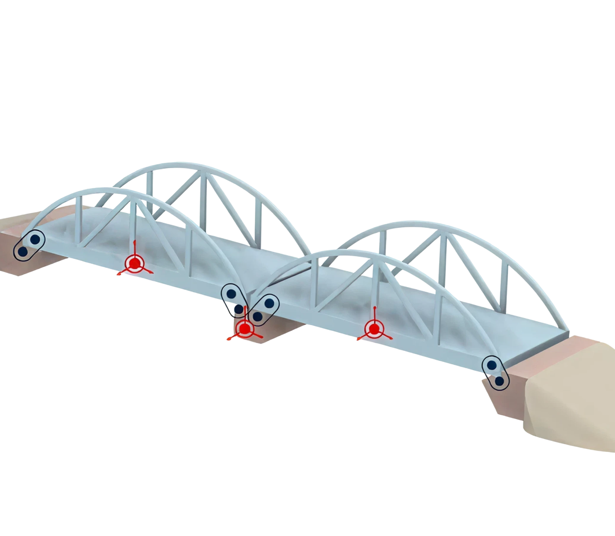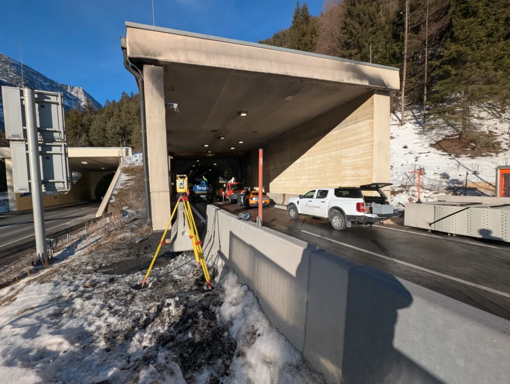


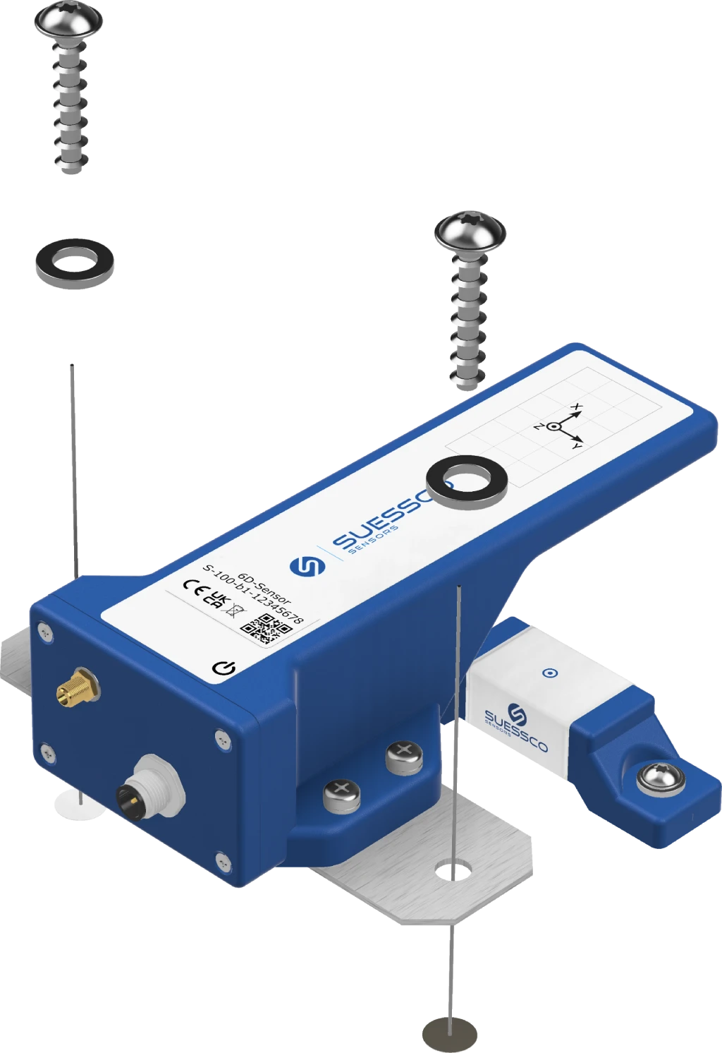
Take baseline measurements before construction begins
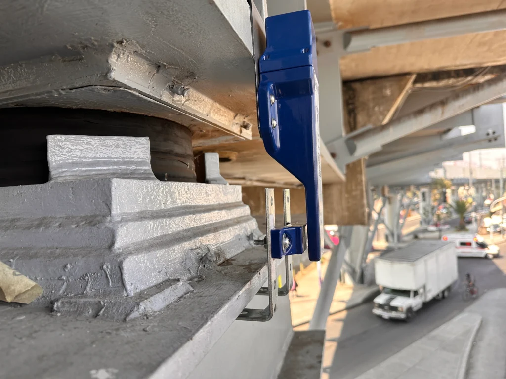
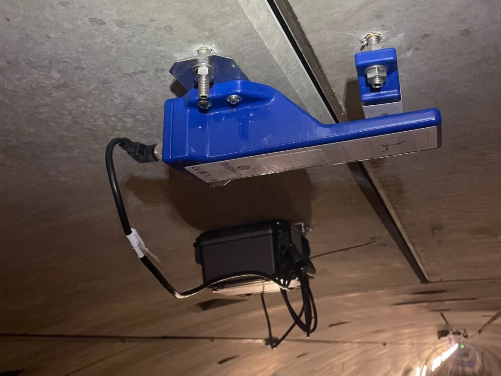
Before breaking ground, measurement points are set up on adjacent buildings and excavation walls. The sensor and reference object are each secured with two screws—no special tools are required, and there is no damage to the structural integrity. Activation is achieved by placing a magnet against the sensor or connecting the battery cable. This establishes the initial condition as a documented baseline value.